Filter Places
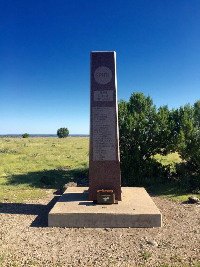
The highest point in Oklahoma at 4,973 feet, Black Mesa Summit can be reached with a scenic 4.2-mile hike. It’s a great trek for anyone looking for an outdoor adventure. Rugged cholla cactus, juniper, and scrub oak dot the area’s rocky buttes and mesas. Some 600 feet above the surrounding terrain, the entire Black Mesa geological formation extends north and west from the tip of the Panhandle 40 miles or more into New Mexico and Colorado. TRAIL LENGTH: 8.4 miles round-trip. DIFFICULTY RATING: Moderately strenuous. SPECIAL NOTE: No water available and poisonous rattlesnakes and copperheads frequent this area from mid-spring through early fall.
DIRECTIONS TO THE HIGHEST POINT MARKER: From Boise City take State Hwy. 325 west for about 18 miles and then north for another 10 miles, passing the entrance to the Black Mesa State Park. After passing the park entrance, follow Hwy. 325 as it bends sharply to the west toward Kenton. Just before reaching Kenton, turn right (north) at the sign directing visitors to the Black Mesa Summit. The road leads toward the mesa and curves around its eastern end. About five miles along this route turn left into the gravel parking lot for the Black Mesa Nature Preserve and trailhead for the Black Mesa Summit.

